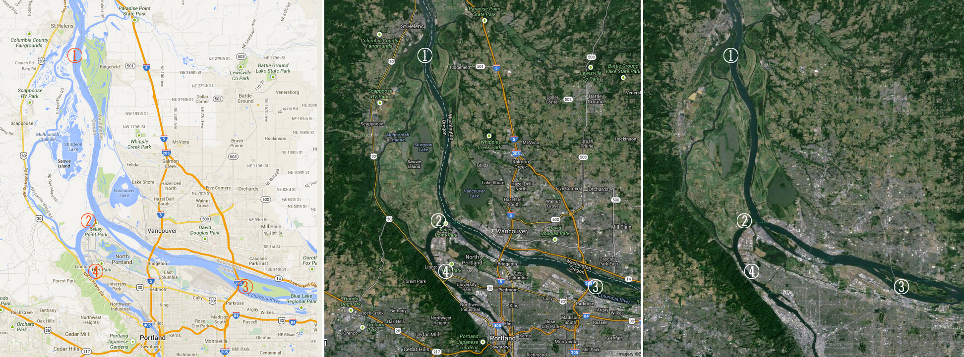
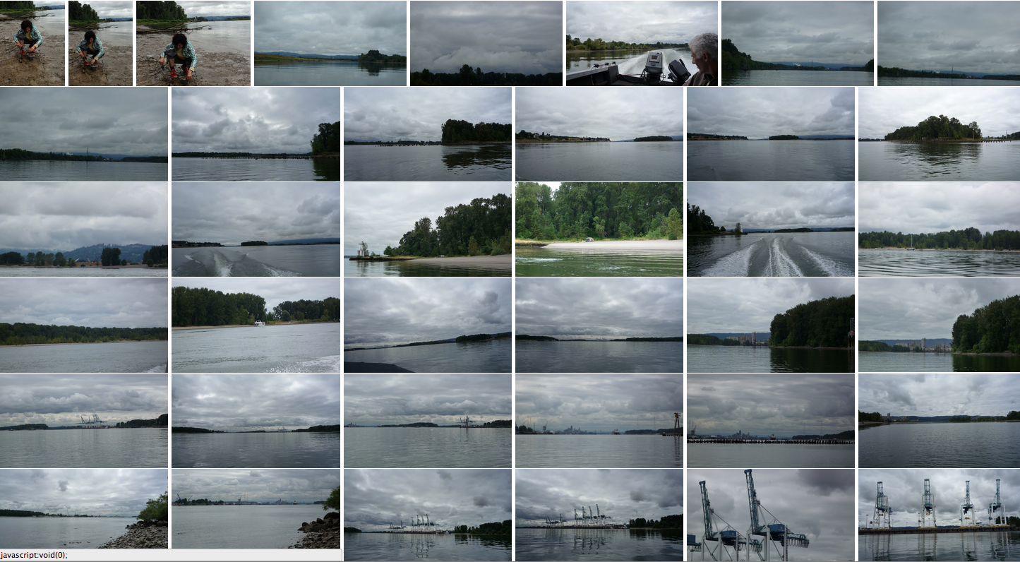
Found a boat on Craigslist belonging to a retired lineman named Kent; he took me and Peter out from Cathedral Park, up through Multnomah Channel, around the top of Sauvie Island, down the Columbia along the south side of Hayden Island, down to Government Island, and back around Kelly Point to our start. Photos ins sequence can be found starting here on flickr.
My agenda was to start to get a sense of the usage overlays along the northeast and northwest sides of Portland, and also dip up just outside the city bounds, where agriculture is happening (on Sauvie Island). I also wanted to start experimenting with local clay, the river banks are full of it.
I sampled clay from the river banks at 4 spots:
1.
Lighthouse NE end of Sauvie Island
+45° 50′ 52.80″, -122° 47′ 20.52″
2.
+45°38’53”, -122°46’3″
Kelly Point
3.
+45° 34′ 18.75″, -122° 31′ 25.01″
Government Island
4.
+45° 35′ 11.95″, -122° 45′ 45.44″
Cathedral Park
5.
bond street sewer
6.
linnton shoreline